Key Facts
-
1989
Designed
-
200 ac.
Project Size
About Ingraham Corner
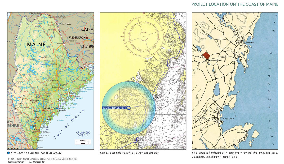
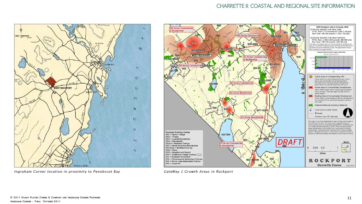
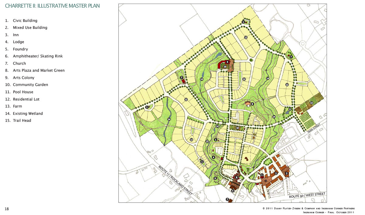
Originally designed in 1989 with a smaller footprint, the master plan for Ingraham Corner was revisited in 2010, after additional land acquisitions that allowed increased accessibility and visibility. The Project comprises nearly 200 acres in Midcoast Maine and will reestablish a historic village center within West Rockport that was decimated by the widening of two regional highways, Route 90 and Route 17.
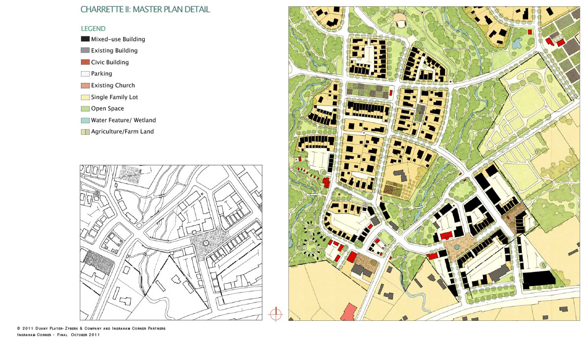
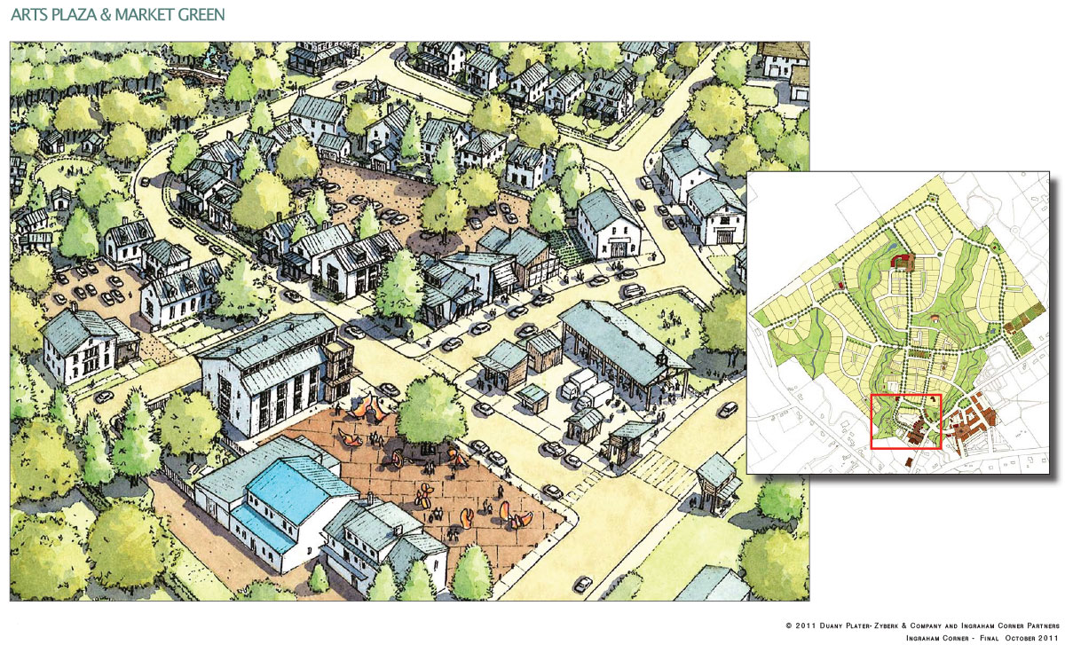
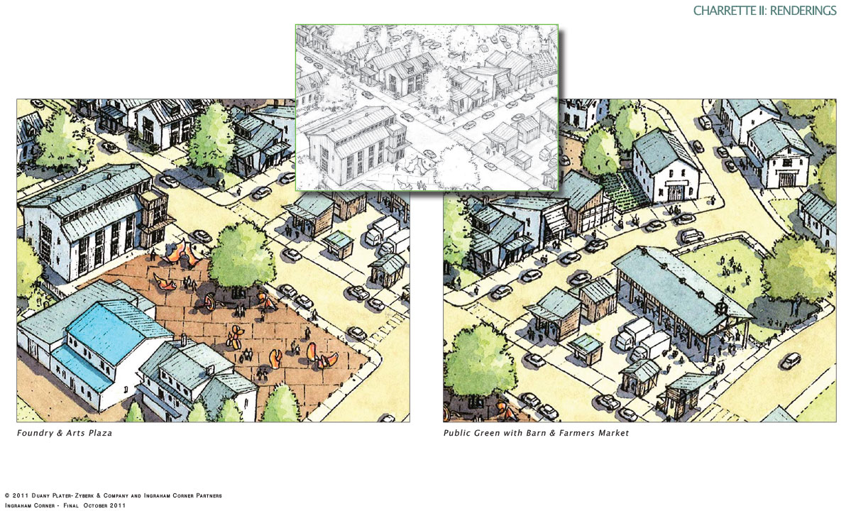
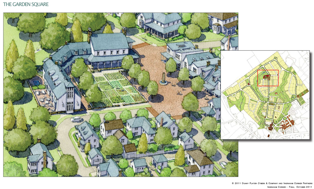
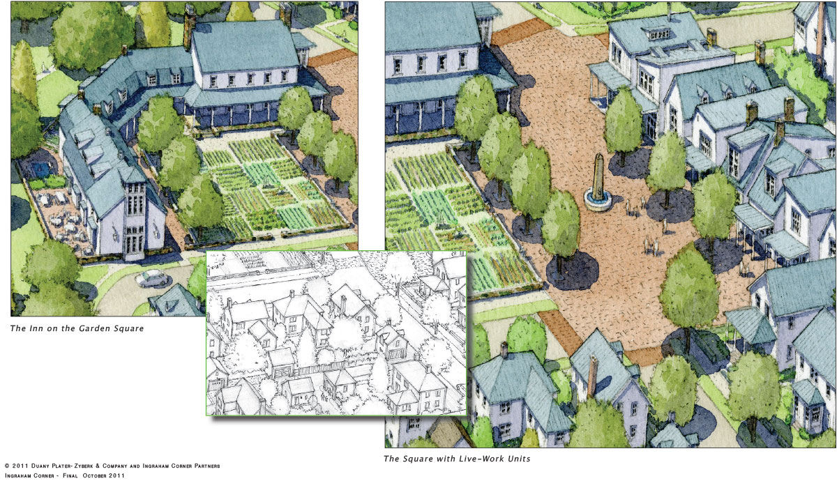
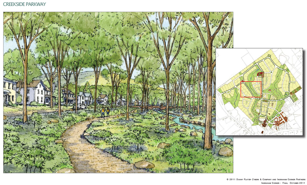
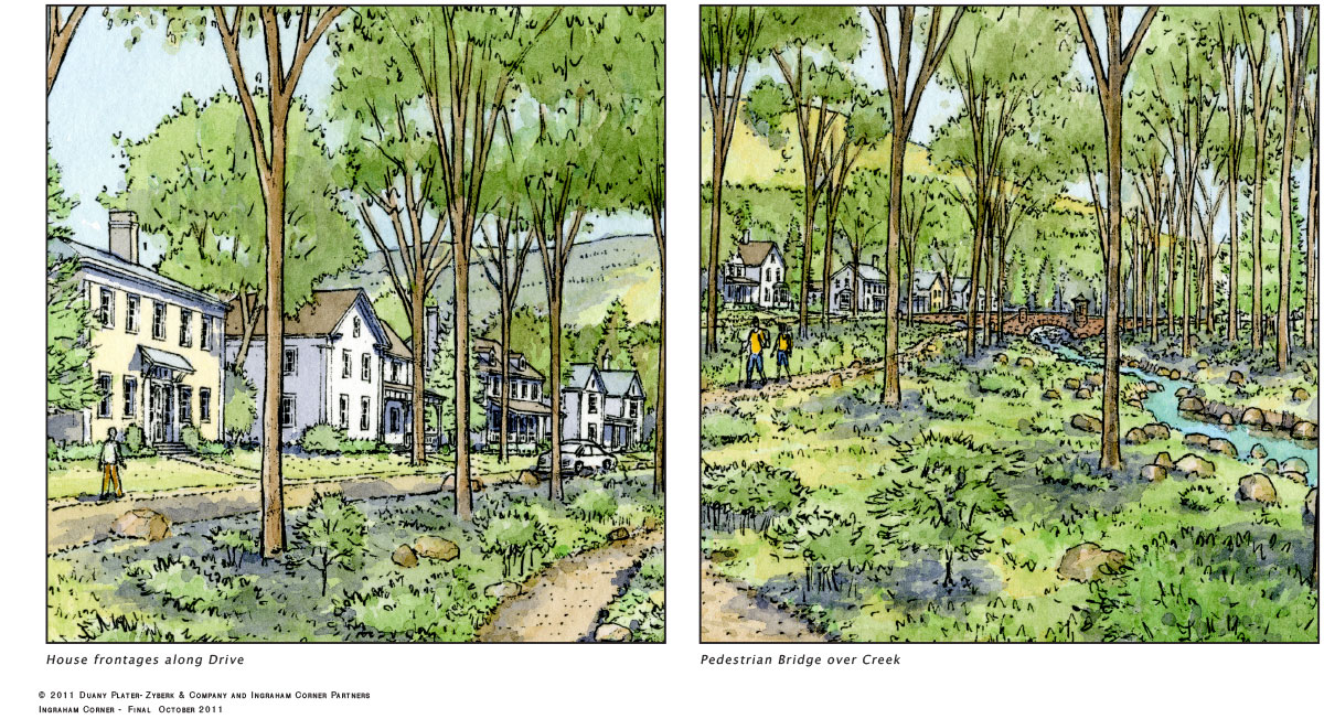
Building on The Foundry, an existing glass and metal arts complex operated by one of the Village Founders, the Project hopes to foster an artist colony with exhibition facilities, housing, working studios and outdoor gathering spaces for public events. Planned surrounding residences, ranging from single-family detached to multi-family, will be joined by restaurants, office space, and a variety of local and regional retail businesses. Planned civic and public structures include an amphitheatre, a farmers market, a post office, a bed and breakfast, an inn, a neighborhood swimming pool and playground, and a community hall. Weaving through Ingraham Corner and providing a framework to the plan is a system of streams and wetlands preserves that link the site to the adjoining woodlands trail network and nearby Ragged Mountain, which frames the view to the north.
Development Approach
- Healthcare Partnerships
- Multi-generational housing and services
- TND Ordinance
- Artist Colony
- Affordable Housing
Defining Design Details
- Connection to West Rockport
- Integration with Nature/ Trails
- Ag-Urb / Community Gardening
