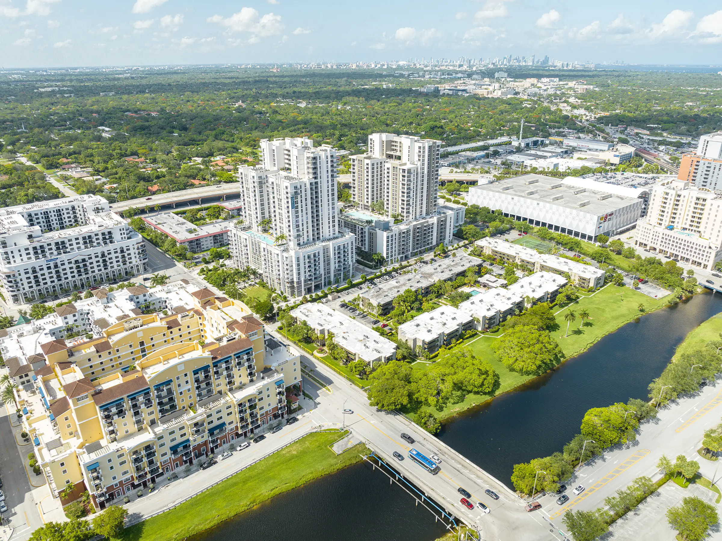
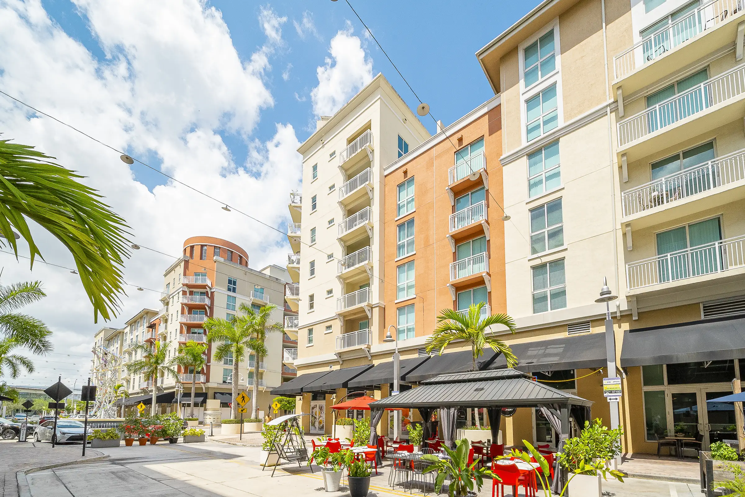
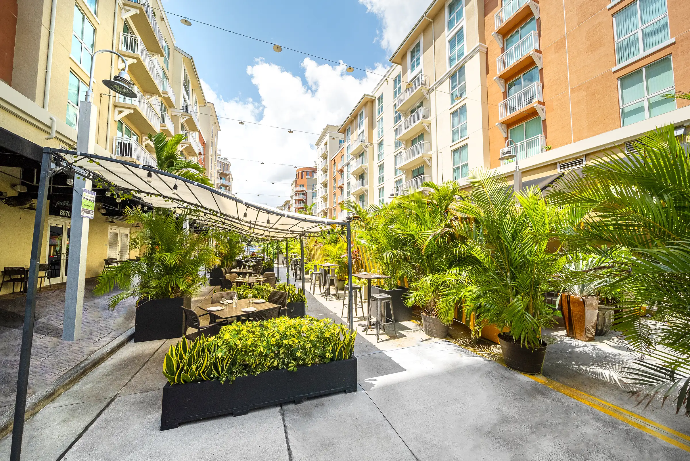
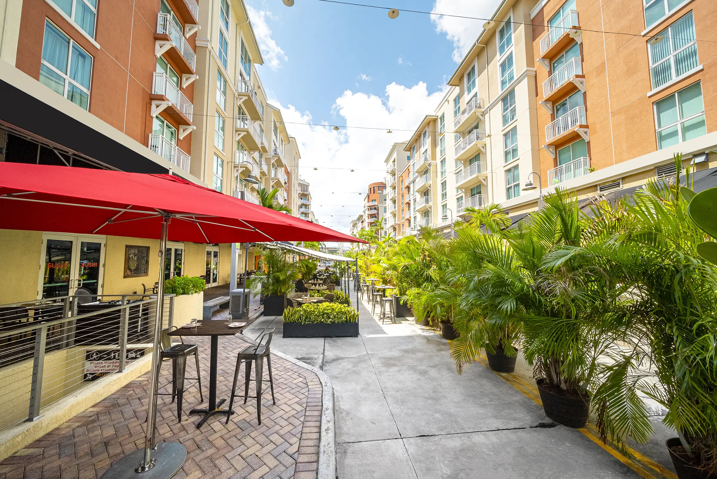
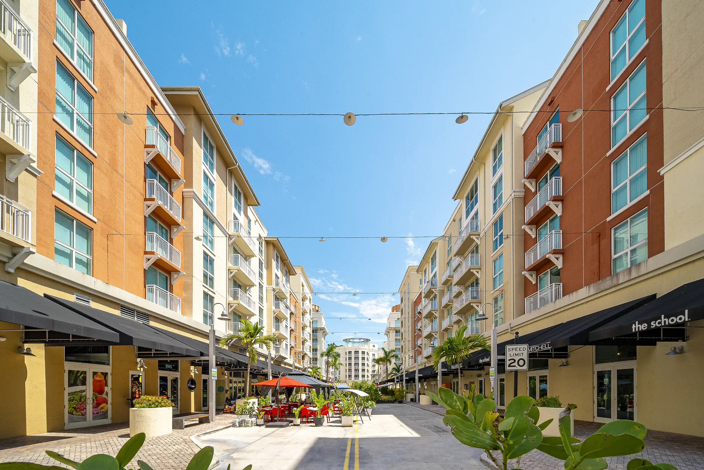
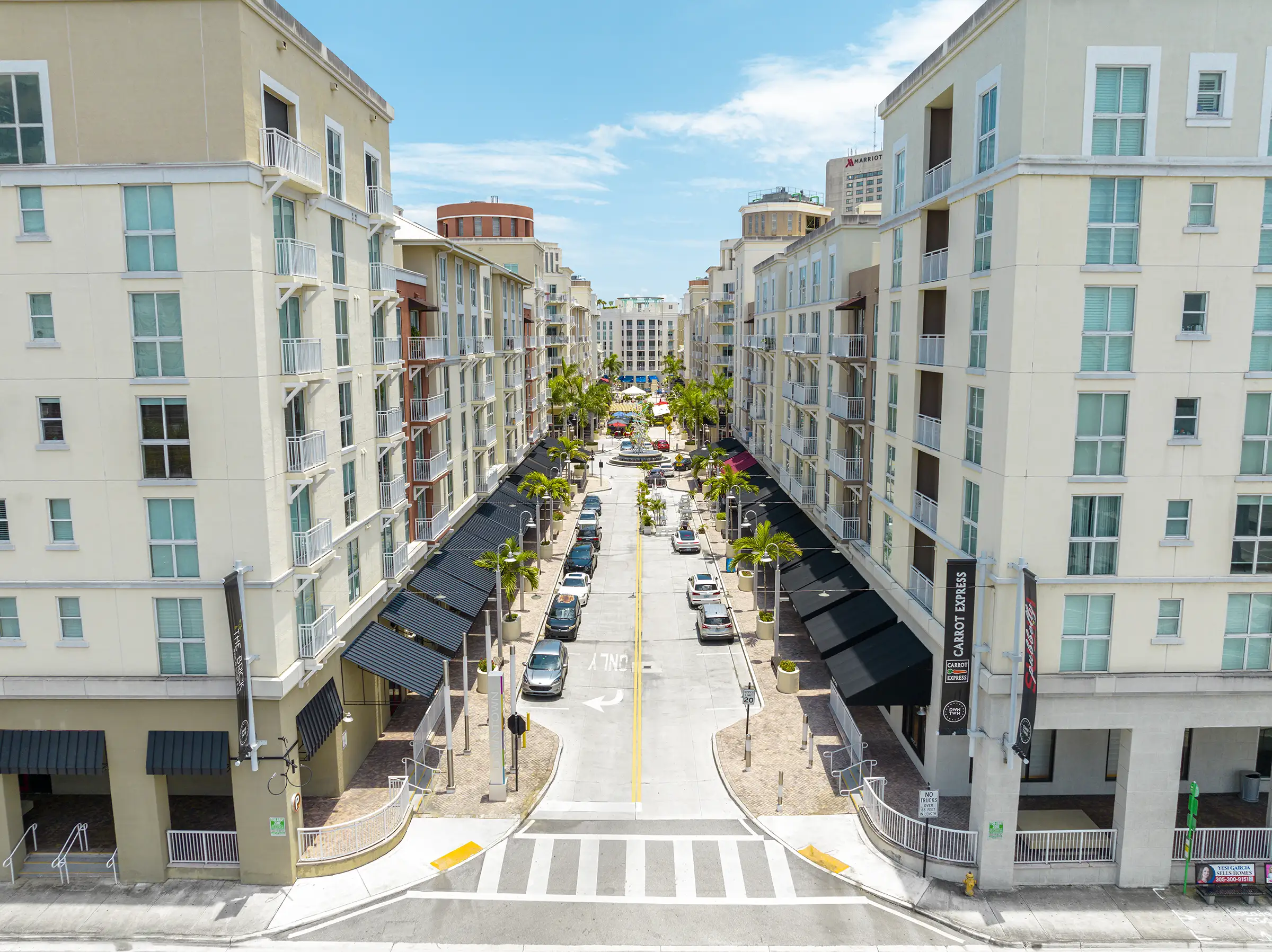
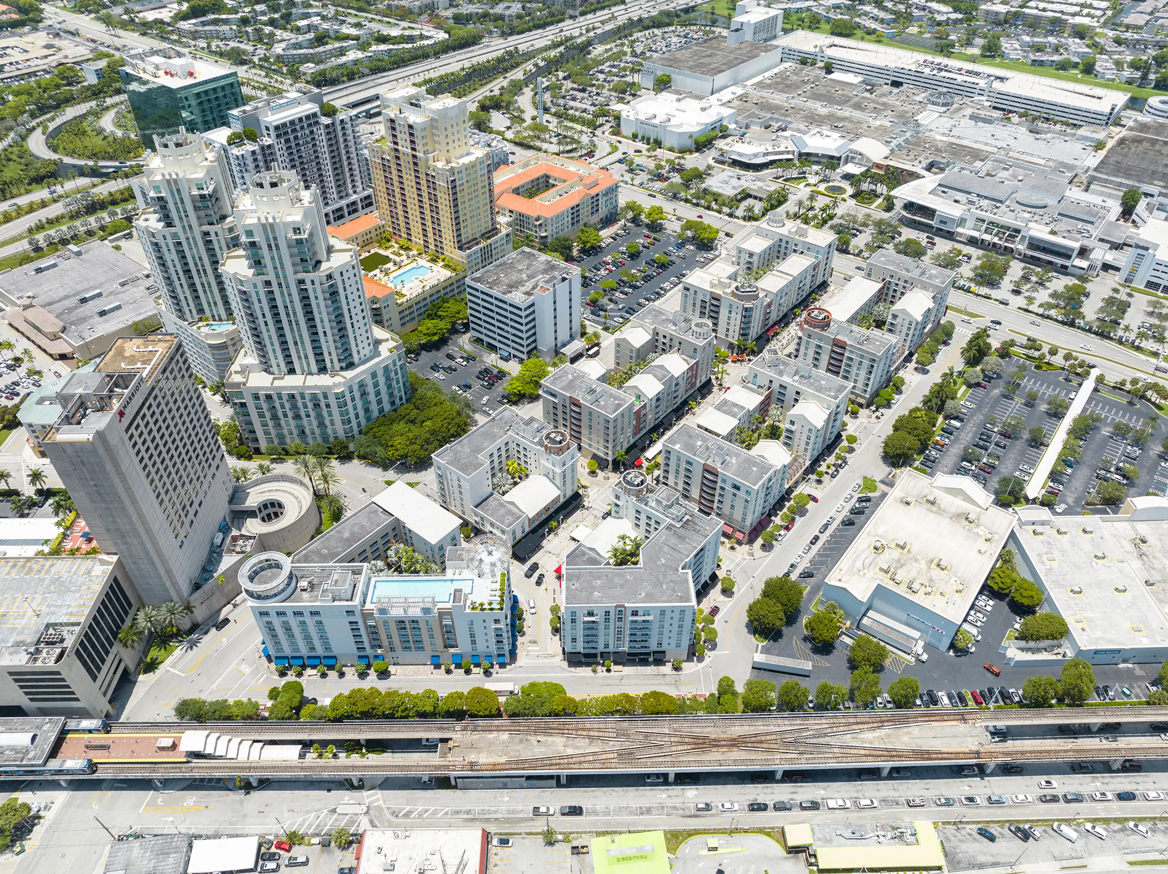
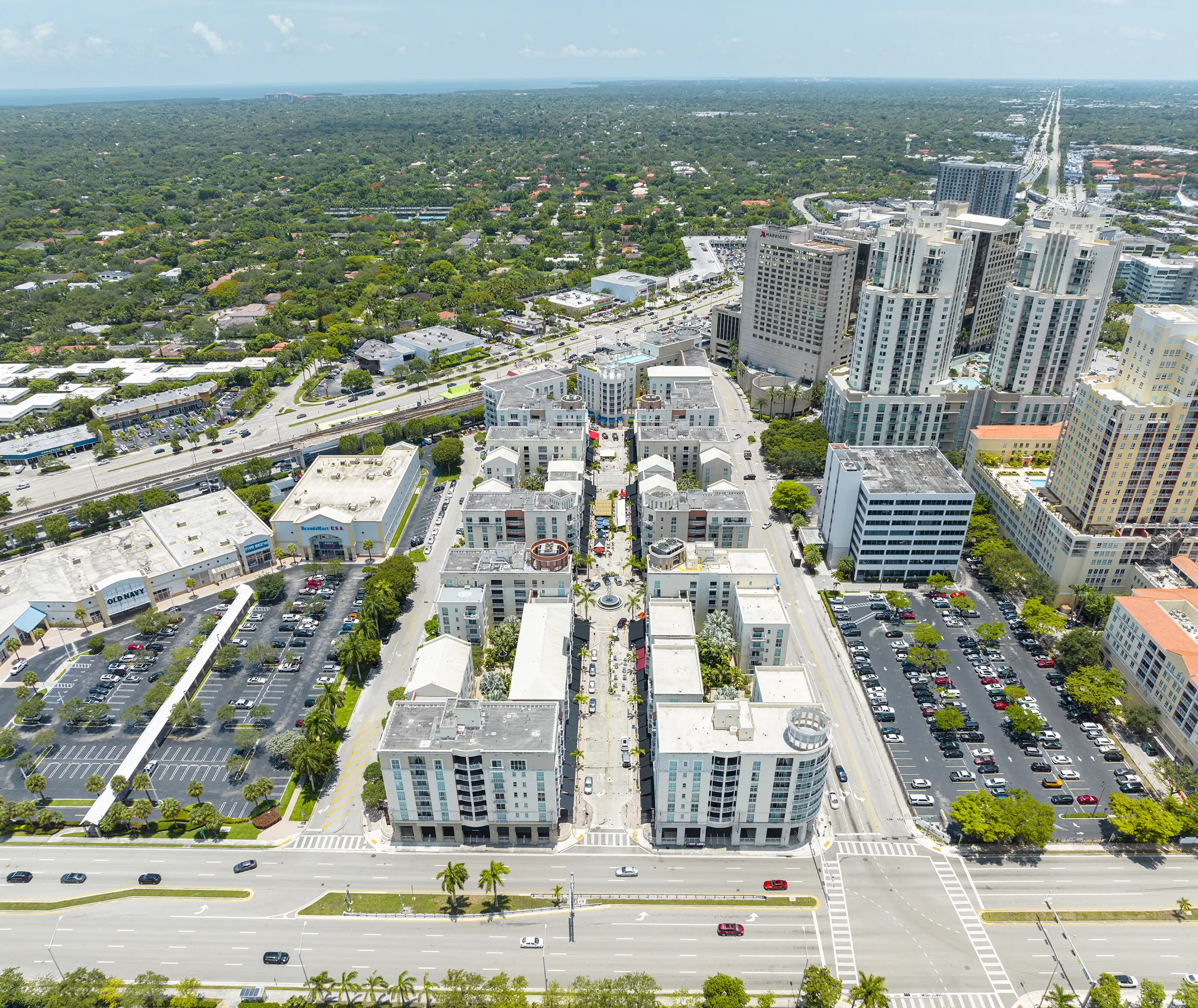
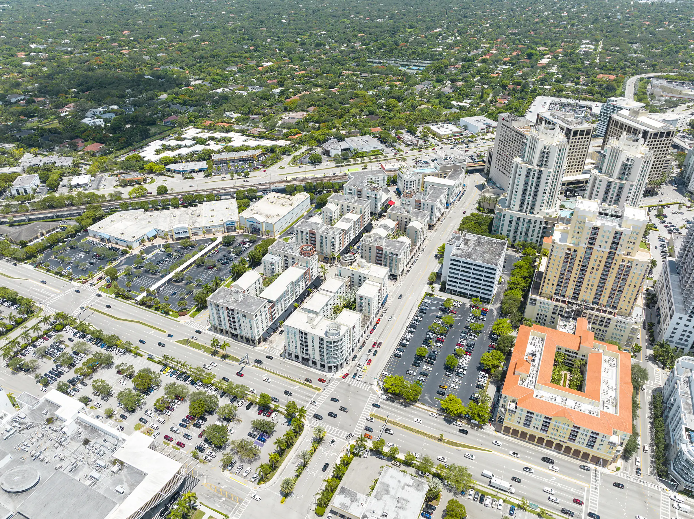
An early “sprawl repair” project, the Downtown Kendall Master Plan created an urban center at a crossroads of suburban Miami, replacing fragmented development and visual blight. The emerging edge city lies at the convergence of four heavily traveled arterial roadways and a transit corridor. Two Metrorail stations serve an intense mixture of shops, offices, hotels, housing, and Dadeland Mall, an international retail destination.
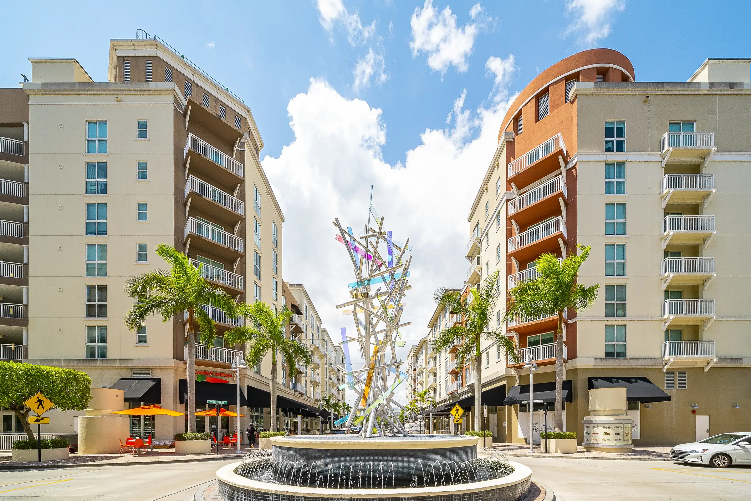
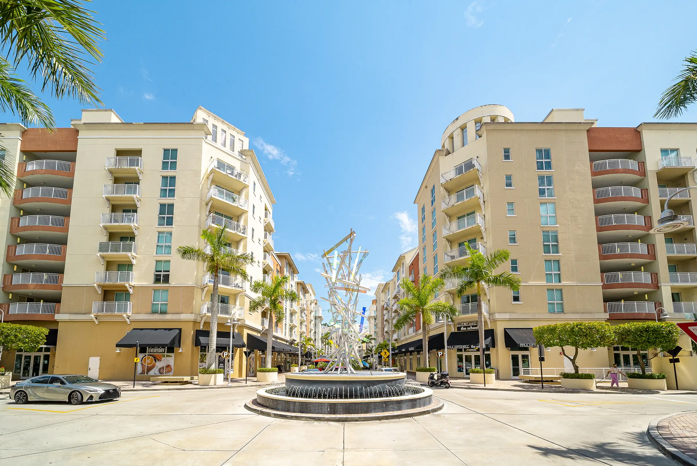
DPZ, in collaboration with Dover Kohl & Partners, crafted a plan of streets and blocks and drafted a graphic code. The public process was guided by Chamber South, Miami-Dade County government, and engaged citizen organizations. Surrounding neighborhoods supported the intensification of the newly defined urban center as a way to contain commercial expansion. The new zoning district replaced floor area ratio (FAR) with form-based controls.
Development Approach
Transect of three densities: related to transit proximity.
Public squares and greens: produced by aggregating the existing open space requirements of multiple parcels.
Mall expansion: guided to engage street frontage and enhance pedestrian connectivity.
Defining Design Details
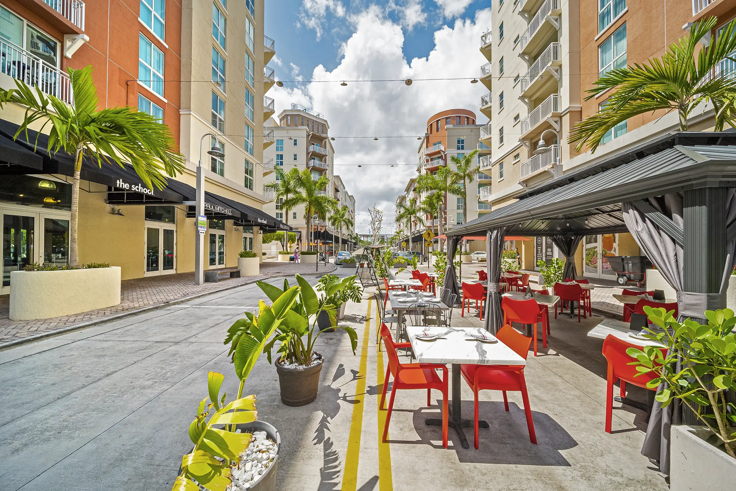
Form-based code controls street frontages, setbacks, floor plate size, parking liners, and building heights
Arcades: mandated for streets connecting to Metrorail station.